Google Maps Enhances Navigation Experience with Immersive View for Routes
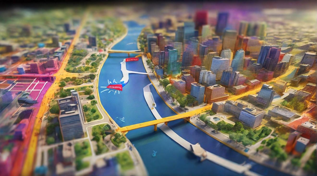
Google Maps has introduced a new feature called Immersive View for routes, which combines Street View and aerial imagery to provide users with a realistic bird’s-eye view of their selected route. This innovative feature utilizes cameras mounted on cars, planes, and backpacks to gather Street View imagery, which is then combined with data from aerial cameras to create detailed 3D models.
Since its launch a year ago, Immersive View for routes has become one of the most significant updates to Google Maps. This feature seamlessly combines standard navigation with Street View, enhanced by artificial intelligence. The result is a visually stunning bird’s-eye perspective of routes, offering users a unique behind-the-scenes look into the technology behind it.
Revolutionizing the Navigation Experience
Street View, a popular feature of Google Maps, relies on cameras mounted on cars to capture spherical images. Over time, these camera rigs have become more portable, enabling mapping in areas that are inaccessible to vehicles. In addition to cars, planes equipped with special camera arrays are used to capture 3D image data for the Immersive View model reconstruction. Unlike Street View rigs, these planes’ camera arrays generate images that are then processed by AI and computer vision algorithms to create highly accurate 3D models, including terrain, buildings, and street details.
Immersive View for routes goes beyond providing a static view. It offers dynamic, animated representations of traffic and environmental conditions, allowing users to visualize intersections and specific times of day through reconstructed animations. To further assist users in journey planning, weather data is overlaid on the view. Despite the intricacies involved in expanding this feature, Immersive View for routes is currently available in select major cities such as Amsterdam, Berlin, Dublin, Florence, Las Vegas, London, Los Angeles, New York, Miami, Paris, Seattle, San Francisco, San Jose, Tokyo, and Venice, with plans for future expansion.
Enhancing Journey Planning
With the introduction of Immersive View for routes, Google Maps continues to enhance the navigation experience for its users. By combining Street View and aerial imagery, Google is providing a more immersive and realistic perspective of routes, revolutionizing the way people plan their journeys. Whether it’s for daily commutes or exploring new cities, users can now rely on Google Maps for a bird’s-eye view of their routes.
Analyst comment
This news can be evaluated as positive. The introduction of Immersive View for routes in Google Maps enhances the navigation experience for users by providing a more immersive and realistic perspective of routes. It revolutionizes the way people plan their journeys and offers a unique behind-the-scenes look into the technology behind it. As a result, this innovation is expected to attract more users and increase engagement with Google Maps.


